Visiting Post-Earthquake Gyumri


Gyumri is the second largest city of Armenia, located 122 km to the north from the capital Yerevan on the border with neighbouring Turkey.
Experts note that in contrast with other settlements of Armenia Gyumri has a rich architectural and urban development heritage, which is holistic and uninterrupted (the only other exception is Goris). This rich heritage mainly refers to the part of the city built in the 19th century.
According to the general plan of Gyumry developed in 1980s the city was supposed to expand not towards the adjacent black earth area, but by building small satellite towns outside the city itself, while the old city – center according to the government decision was supposed to become Kumayri historical-cultural reserve museum. However among other things, the earthquake destroyed also the longterm development project of Gyumri.
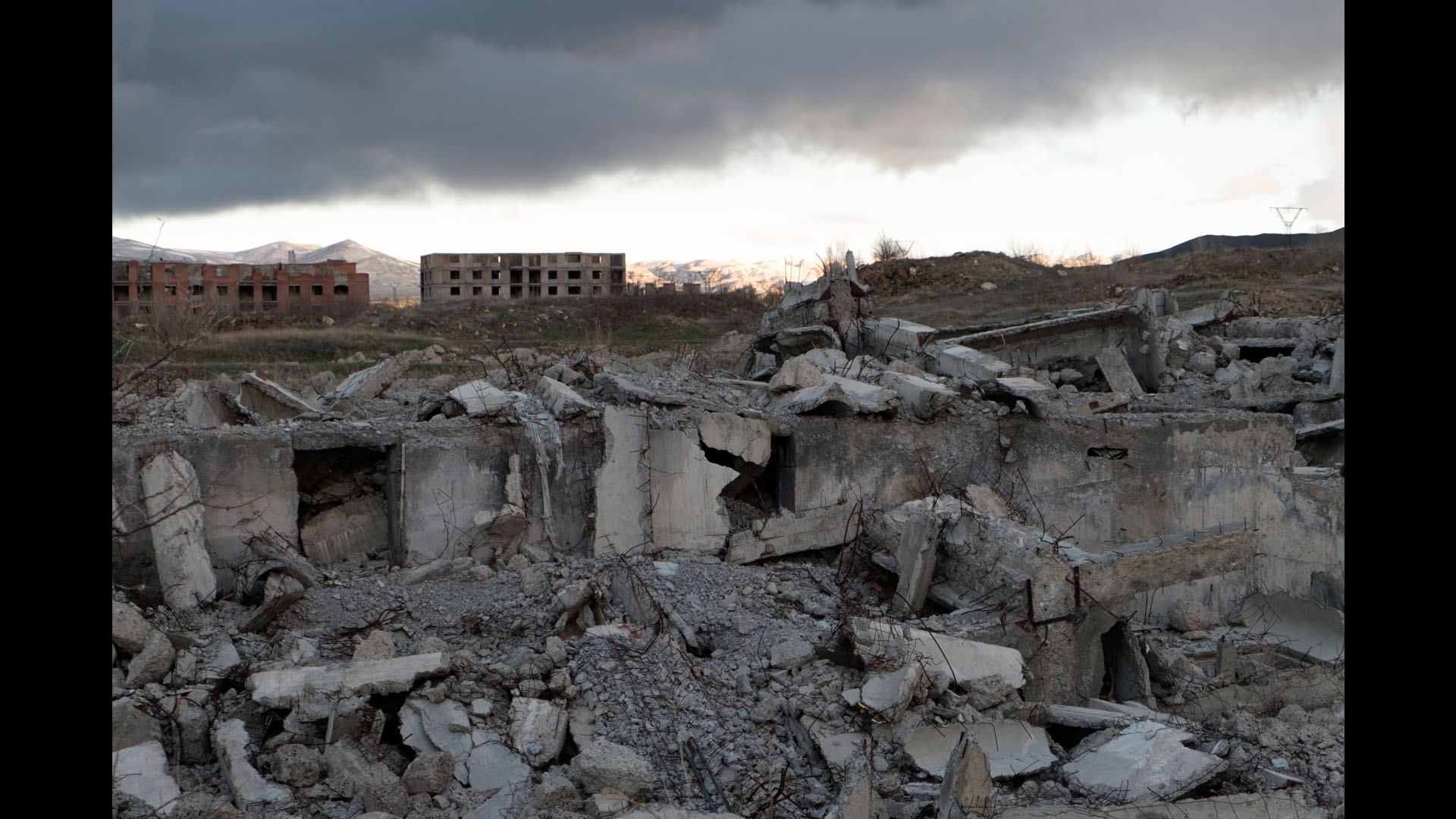
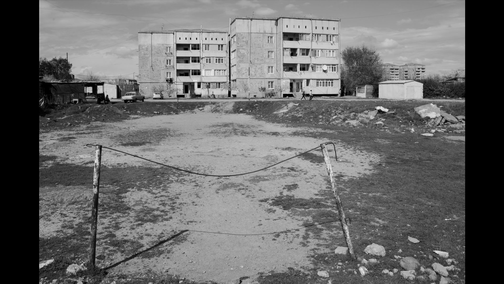
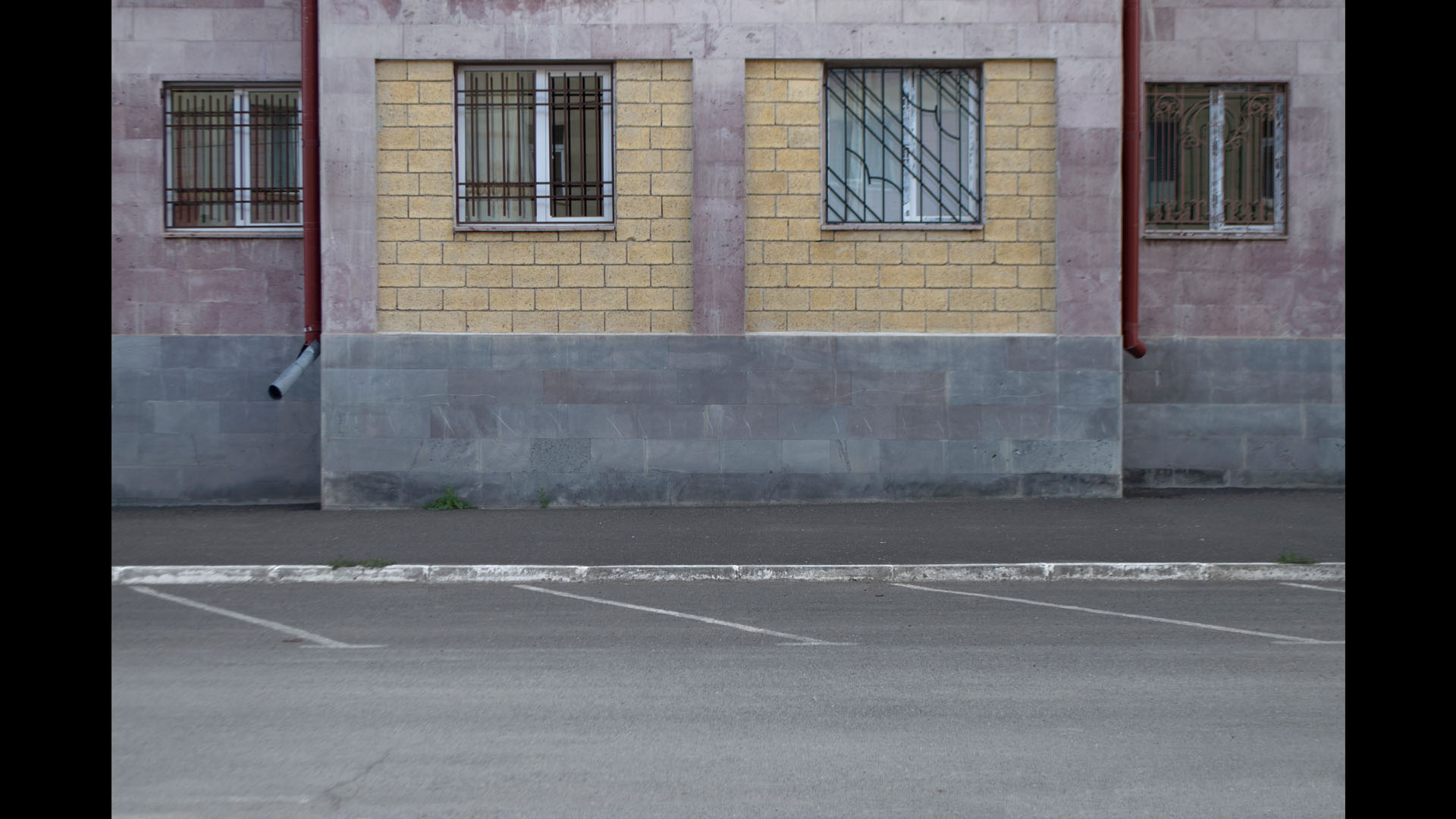
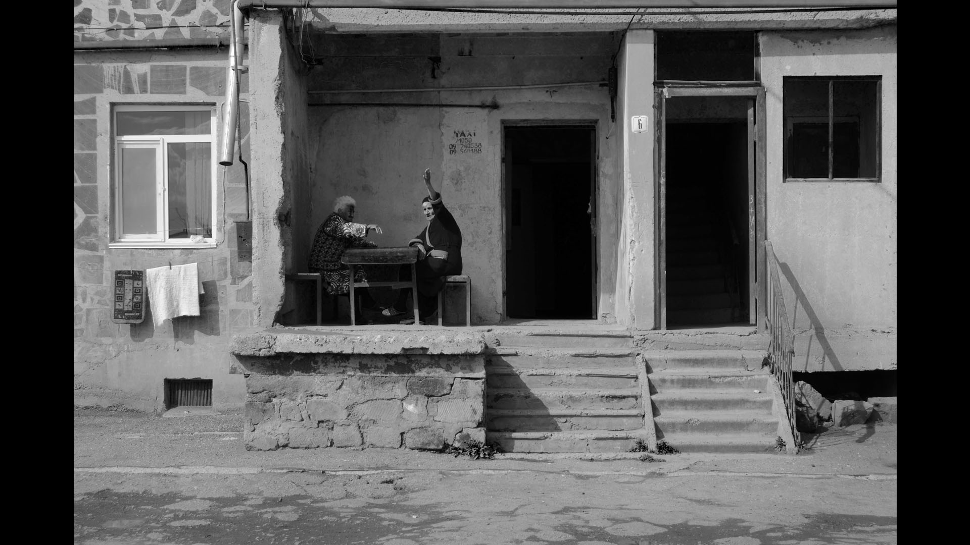
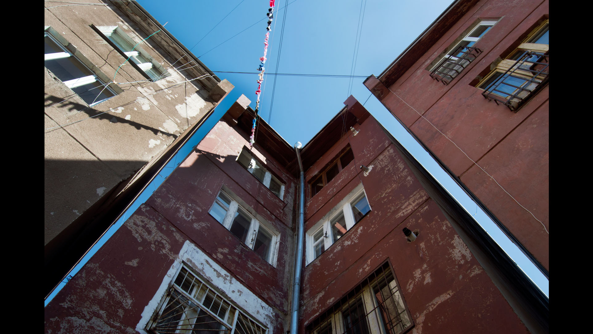
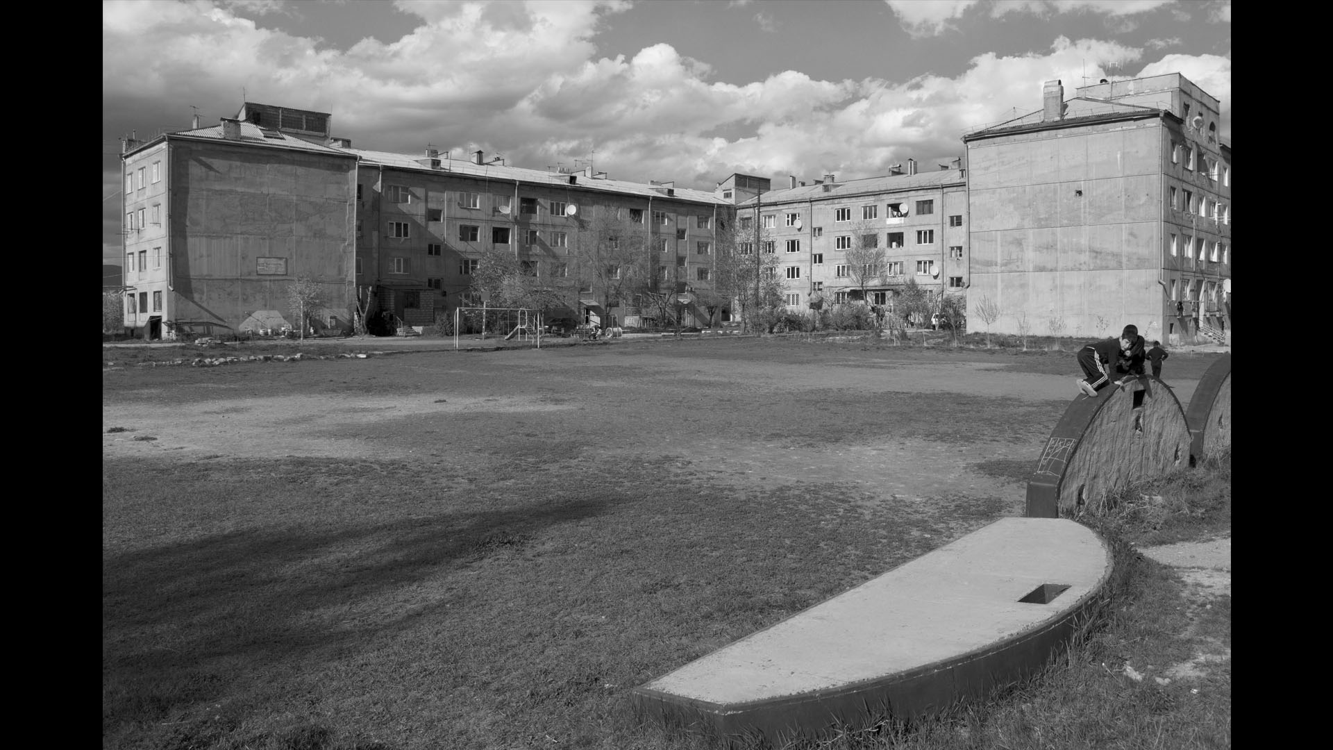
The most disastrous blow of the Spitak earthquake of the 7th of December 1988 came on Gyumri: 17 out of 24 thousand victims were in Gyumri, 526 buildings were destroyed, including schools, factories, residential buildings etc. The buildings that were destroyed by the earthquake had been mainly built in 1980s, whereas the old city remained intact and currently around 1100 monument buildings are still preserved.
The USSR declared that the disaster zone will be recovered in 3 years, and tempted by this perspective the Armenian authorities artificially expanded the area and volume of the disaster zone by destroying damaged but still operational buildings. A decision was made not to reconstruct the destroyed quarters, since these areas where used for the temporary shelters for those who lost their homes (there used to be 64 blocks of temporary shelters).
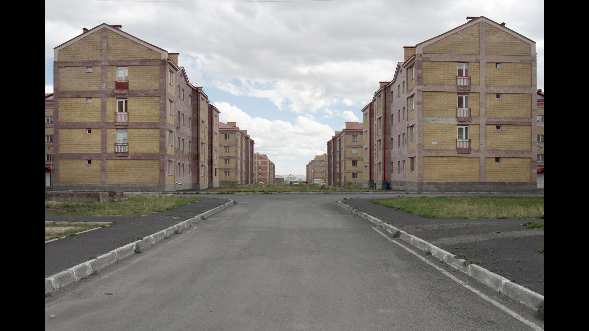
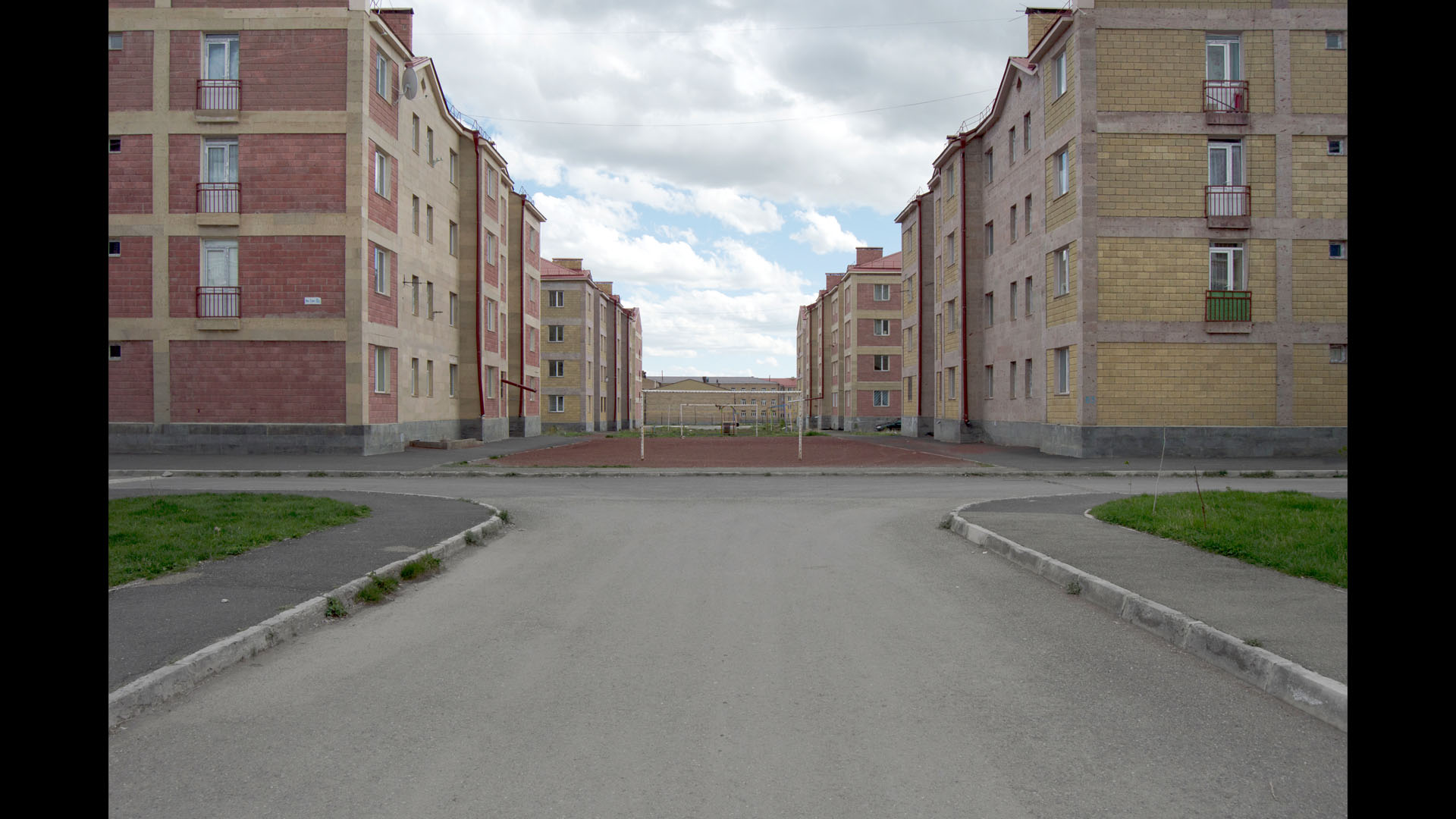
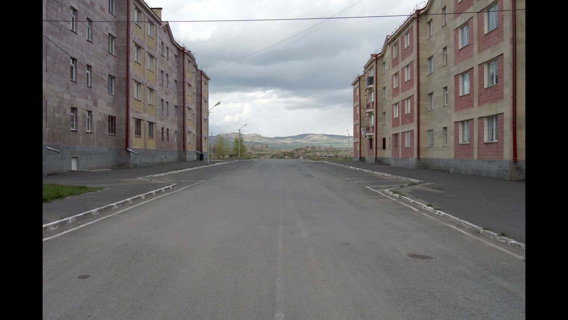
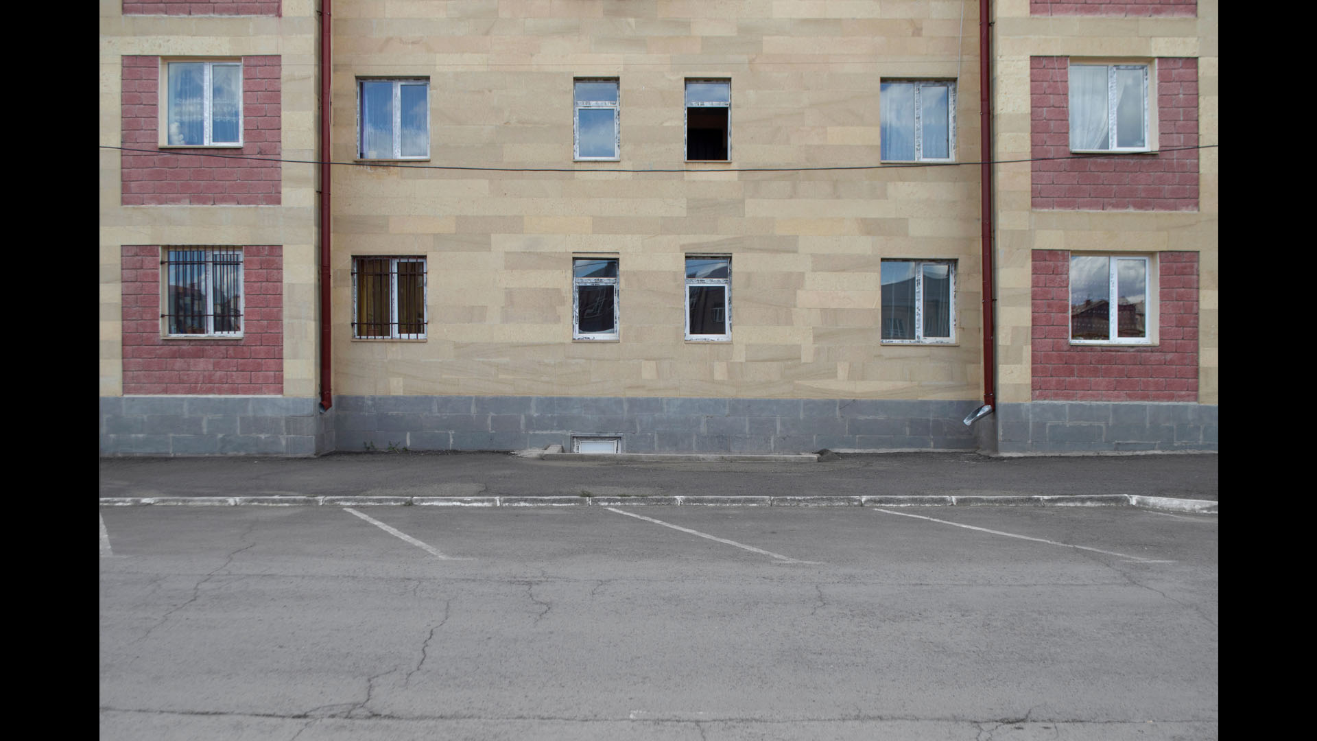
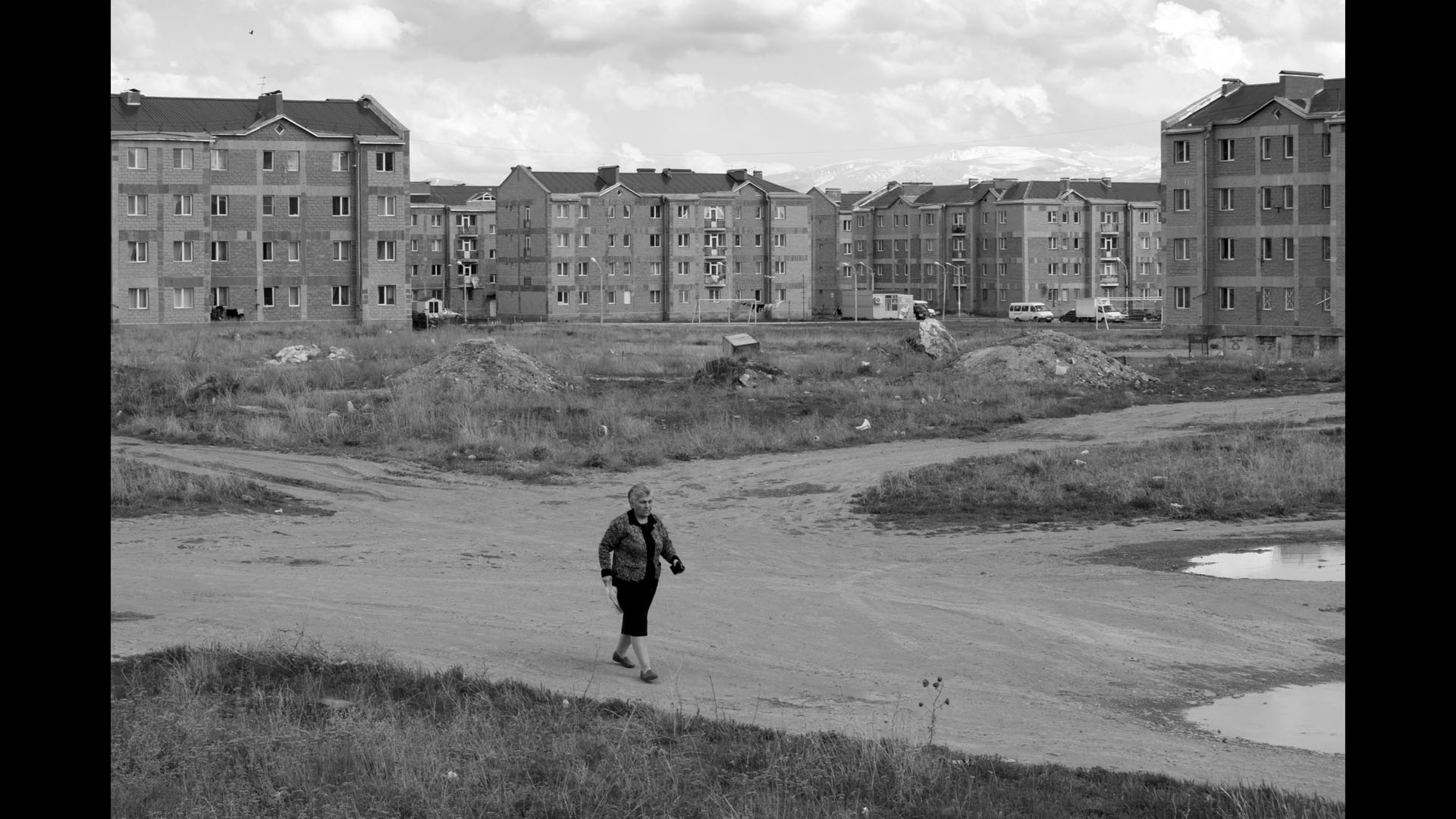
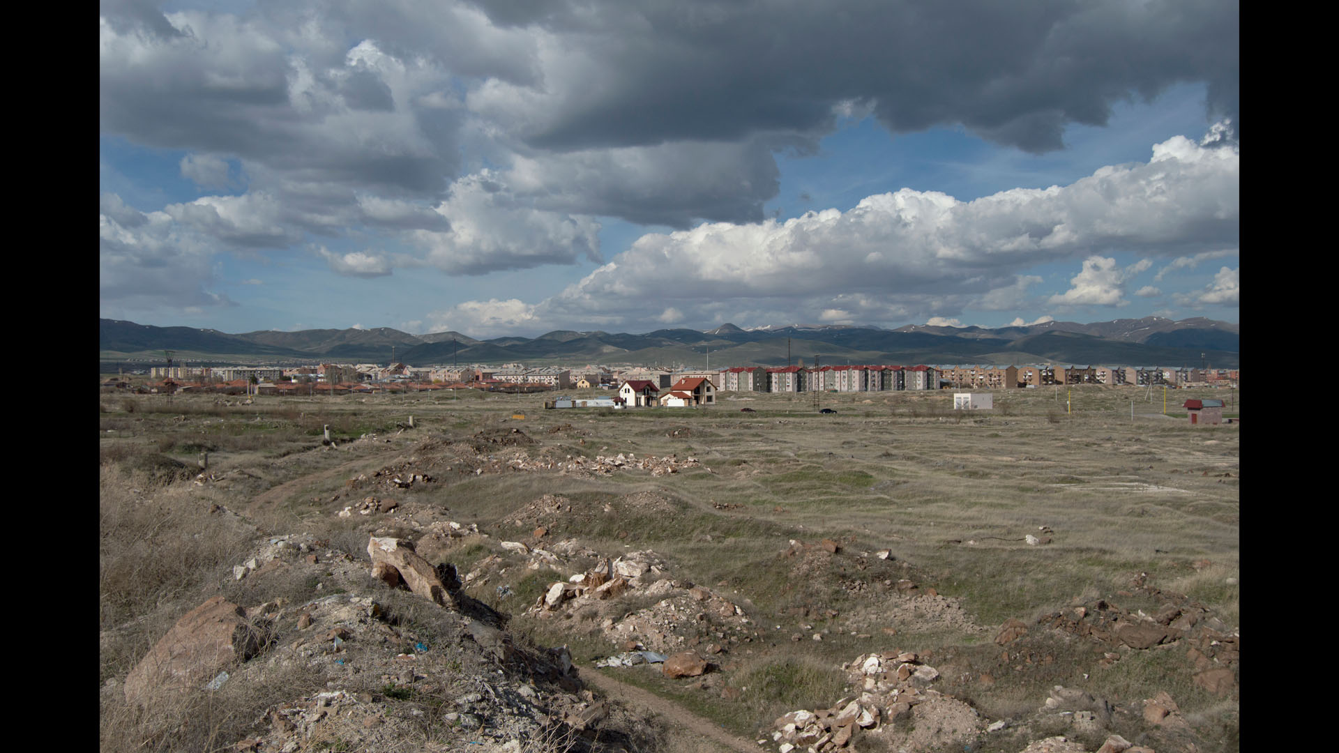
The already finalised general plan of Gyumri was put aside and a new one with a completely opposite concept emerged. According to the new plan the new districts were to be built not in Benjamin with seismically stable rocky ground (to the south east) but on the arable lands of adjacent Marmarashen (to the north west) where the ground was that same clay with running subterranean waters.
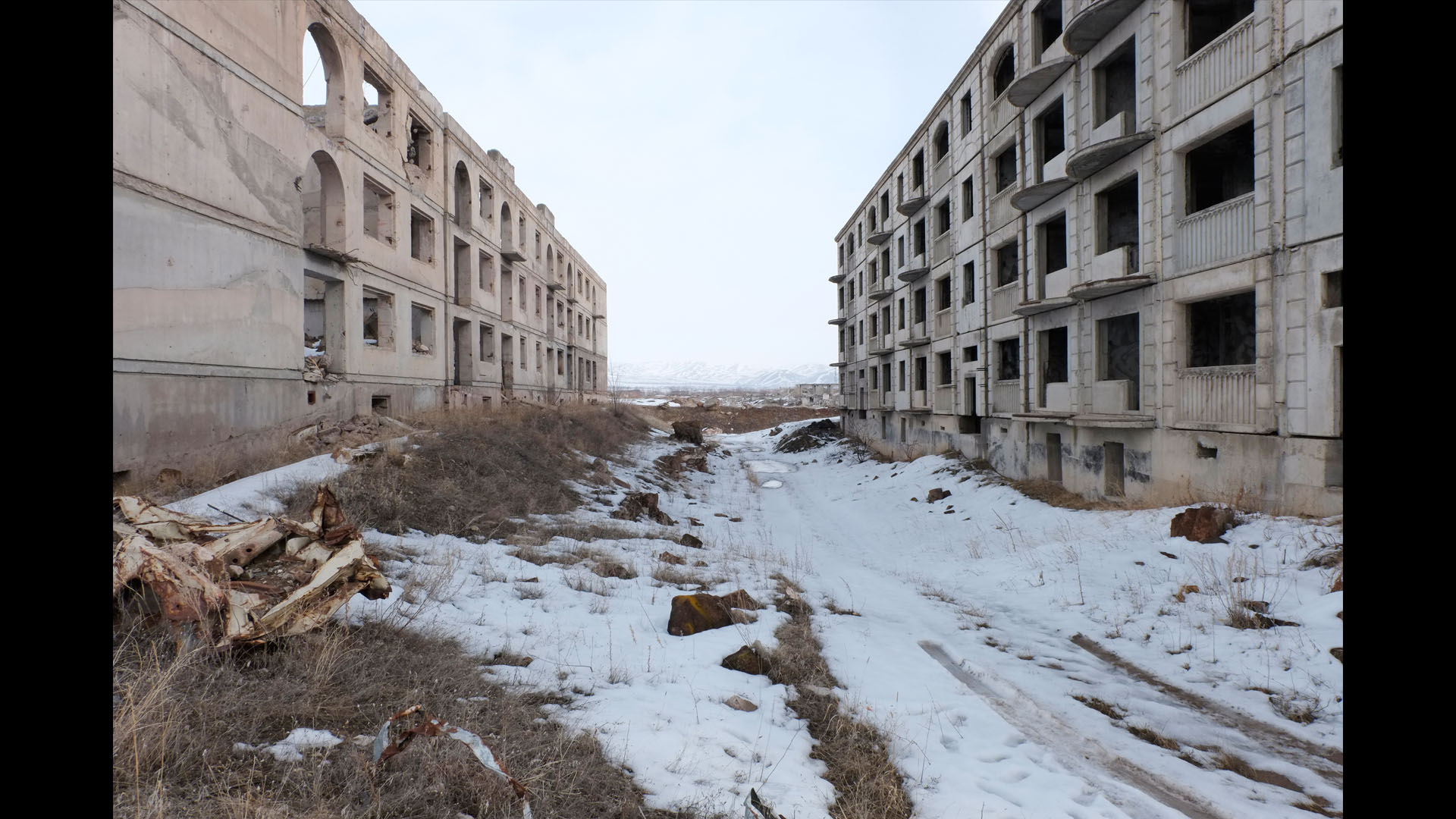
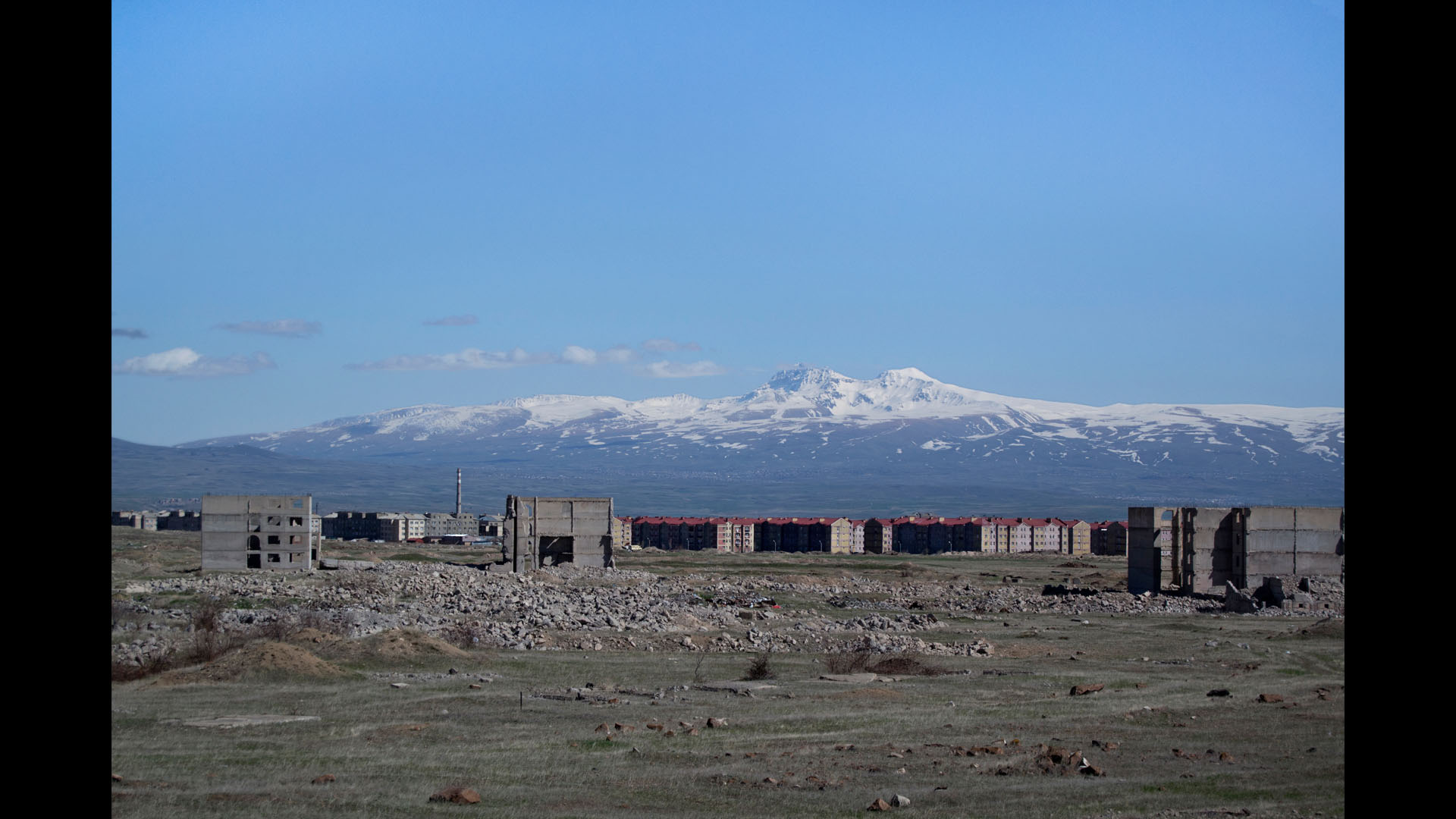
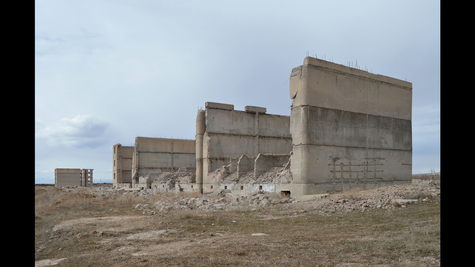
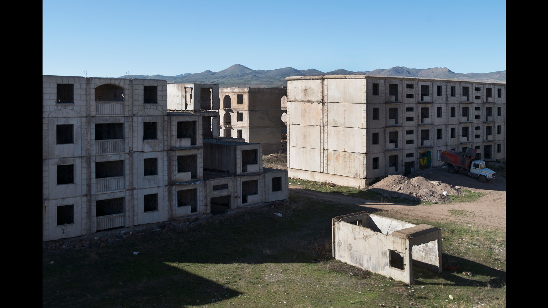
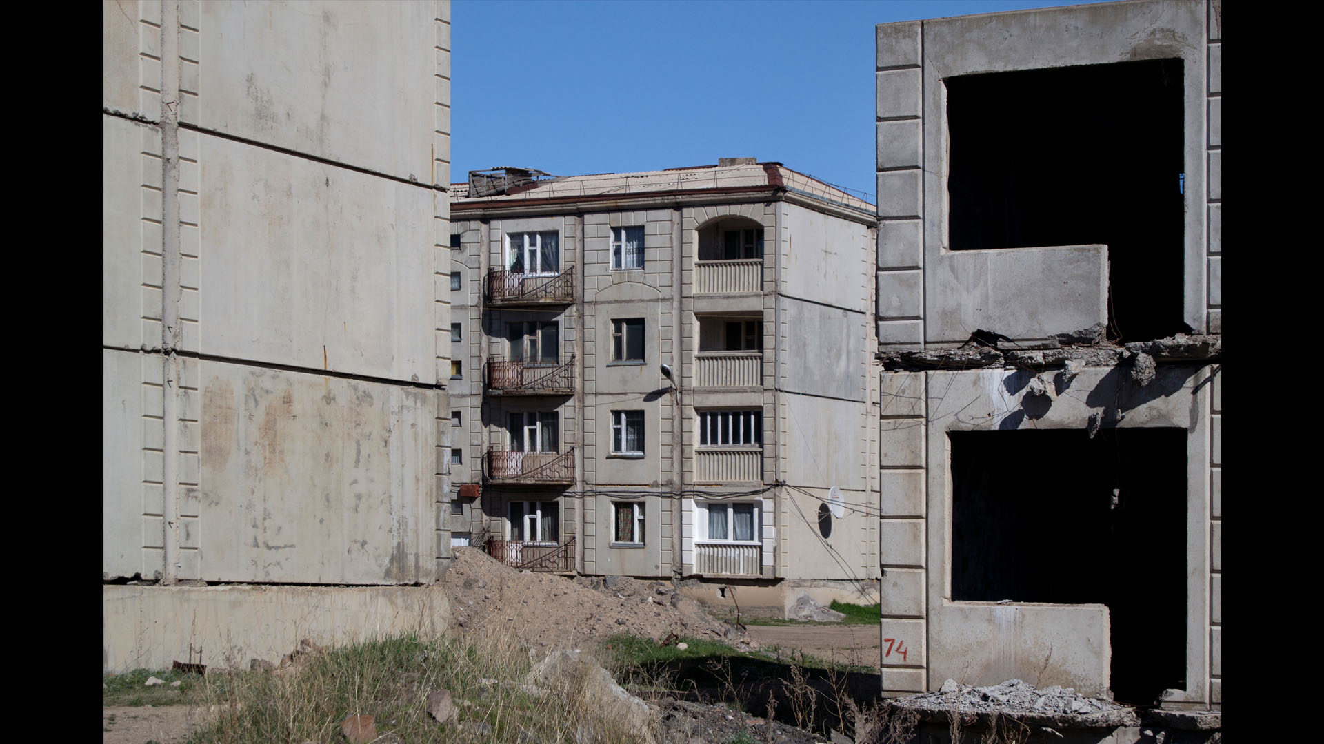
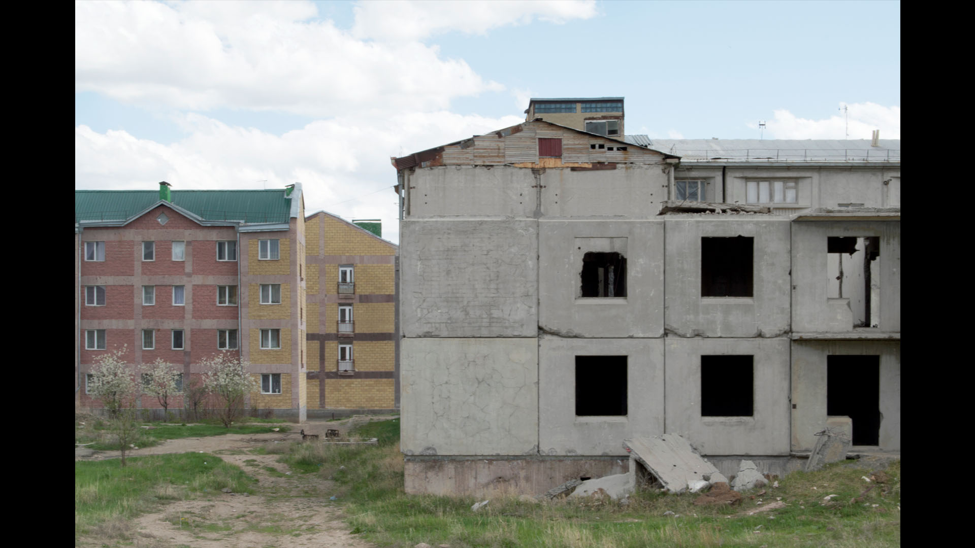
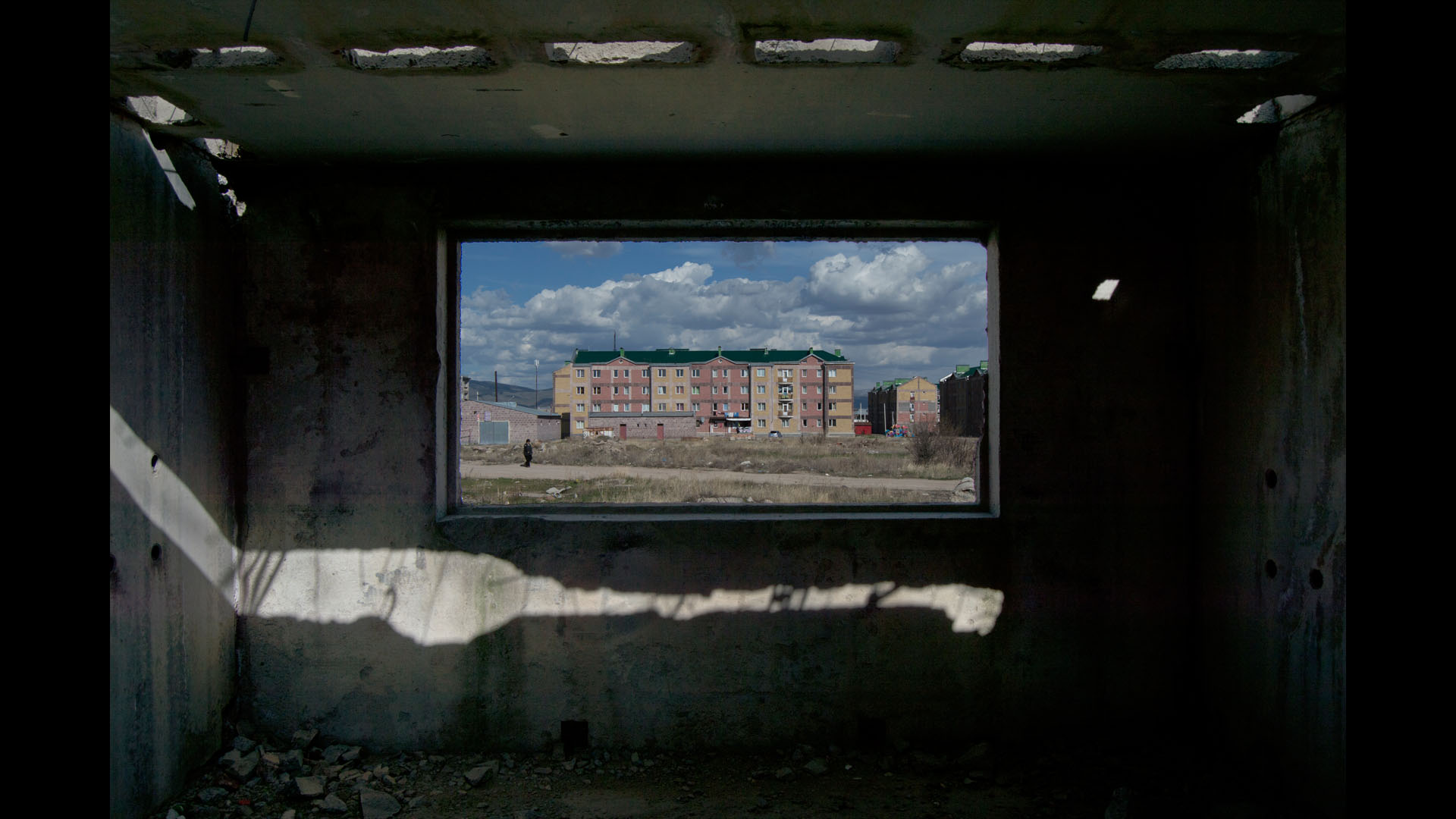
About 400 acres of Marmarashen arable land was removed and instead two districts were built- Ani and the Austrian one- the district with town houses. After the collapse of the Soviet Union in 1991 the builders left leaving behind dug out foundations and incomplete buildings.
The Soviet builders left in Gyumri a huge number of construction equipment: 427 cranes, 44 concrete mixer trucks etc. The new authorities did not develop any new plan and allowed for all the construction materials and equipment to be plundered.
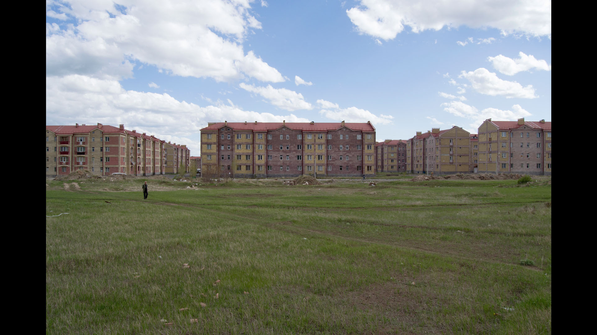
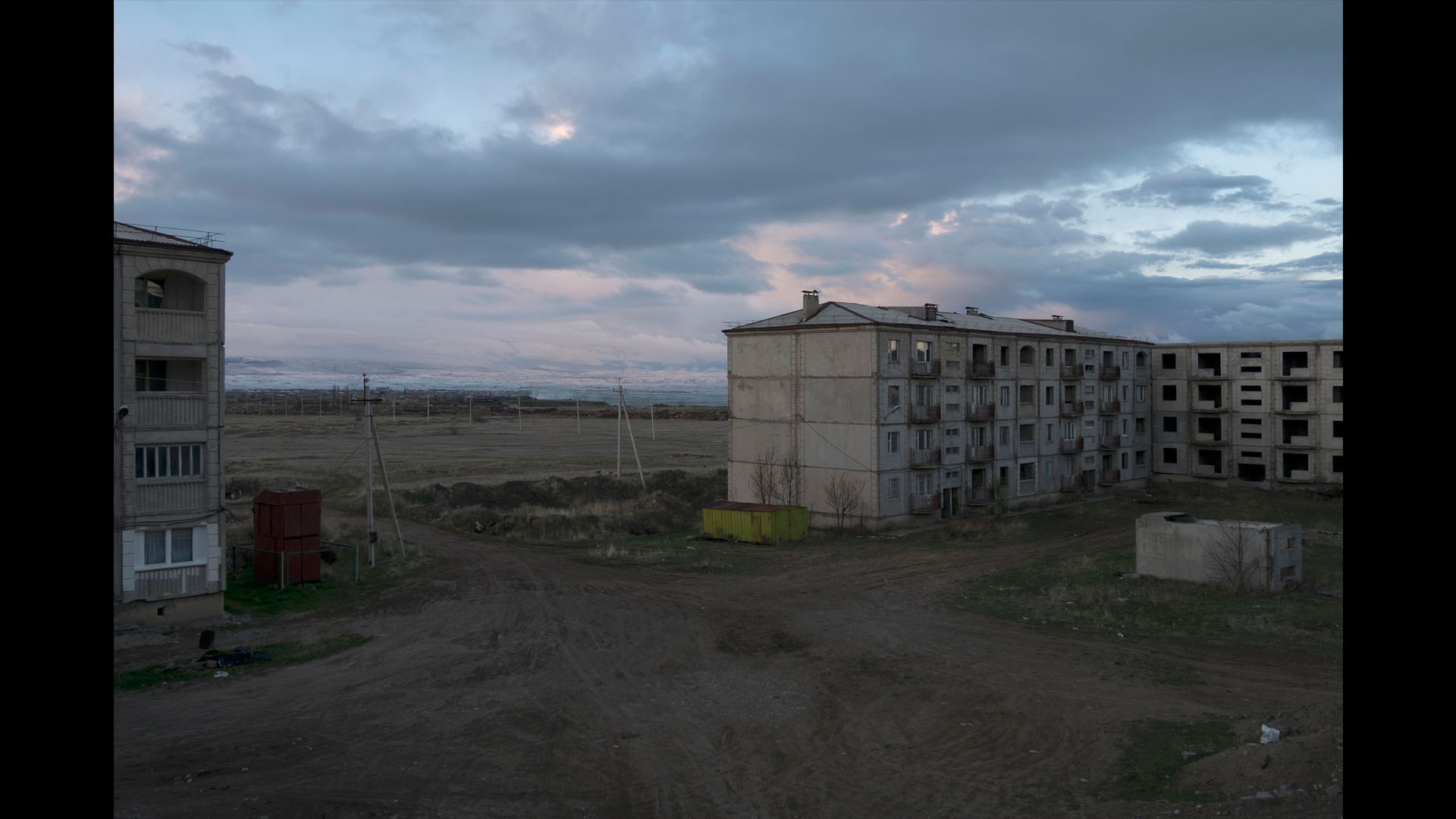
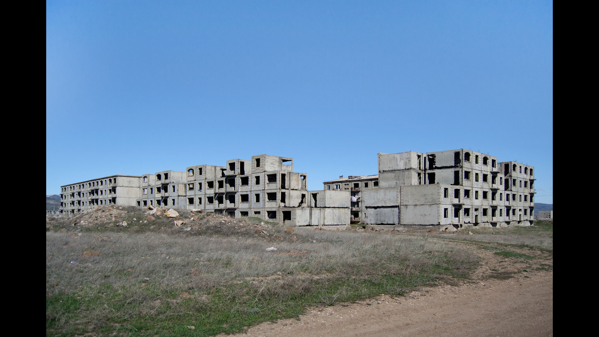
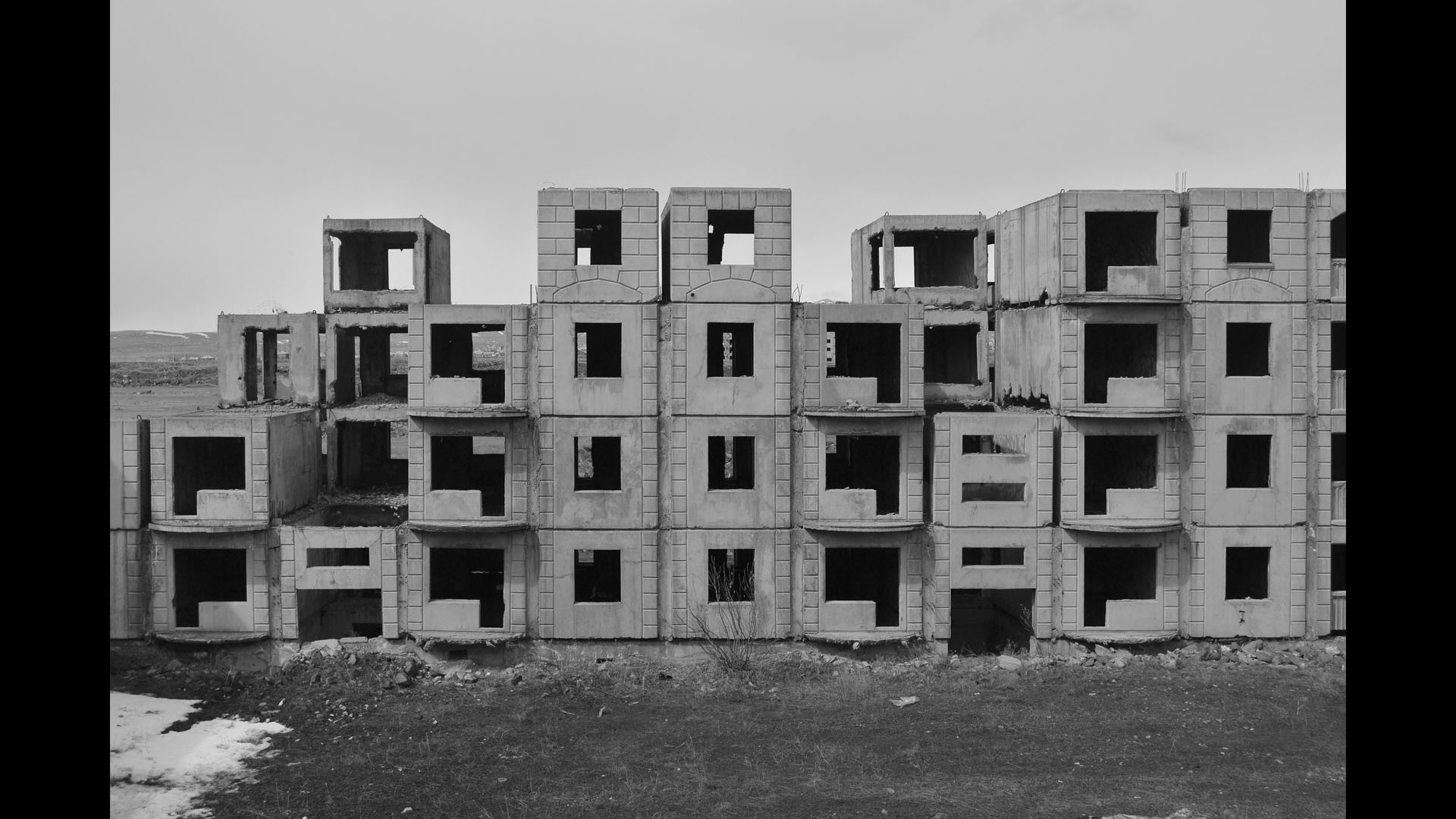
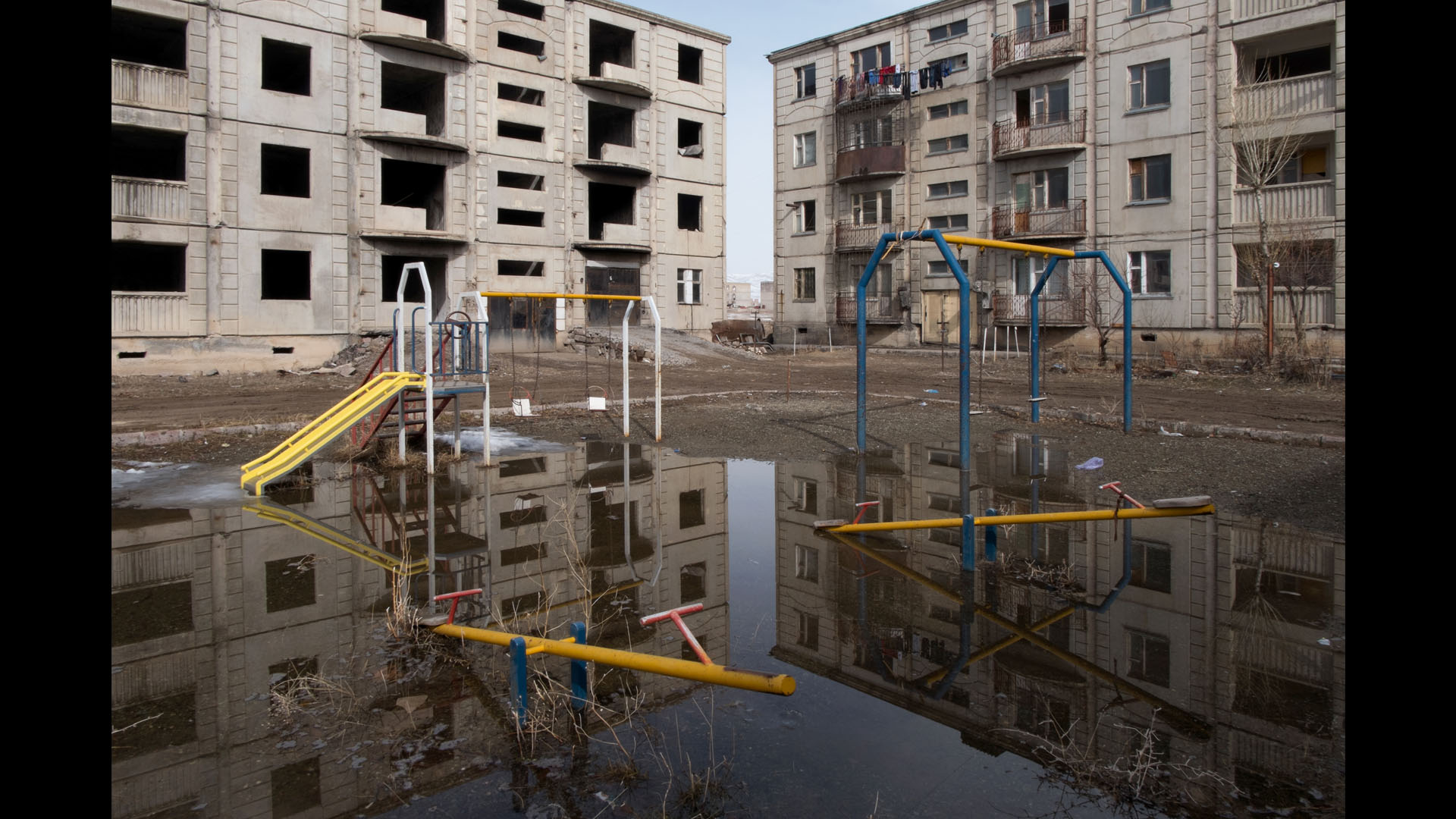
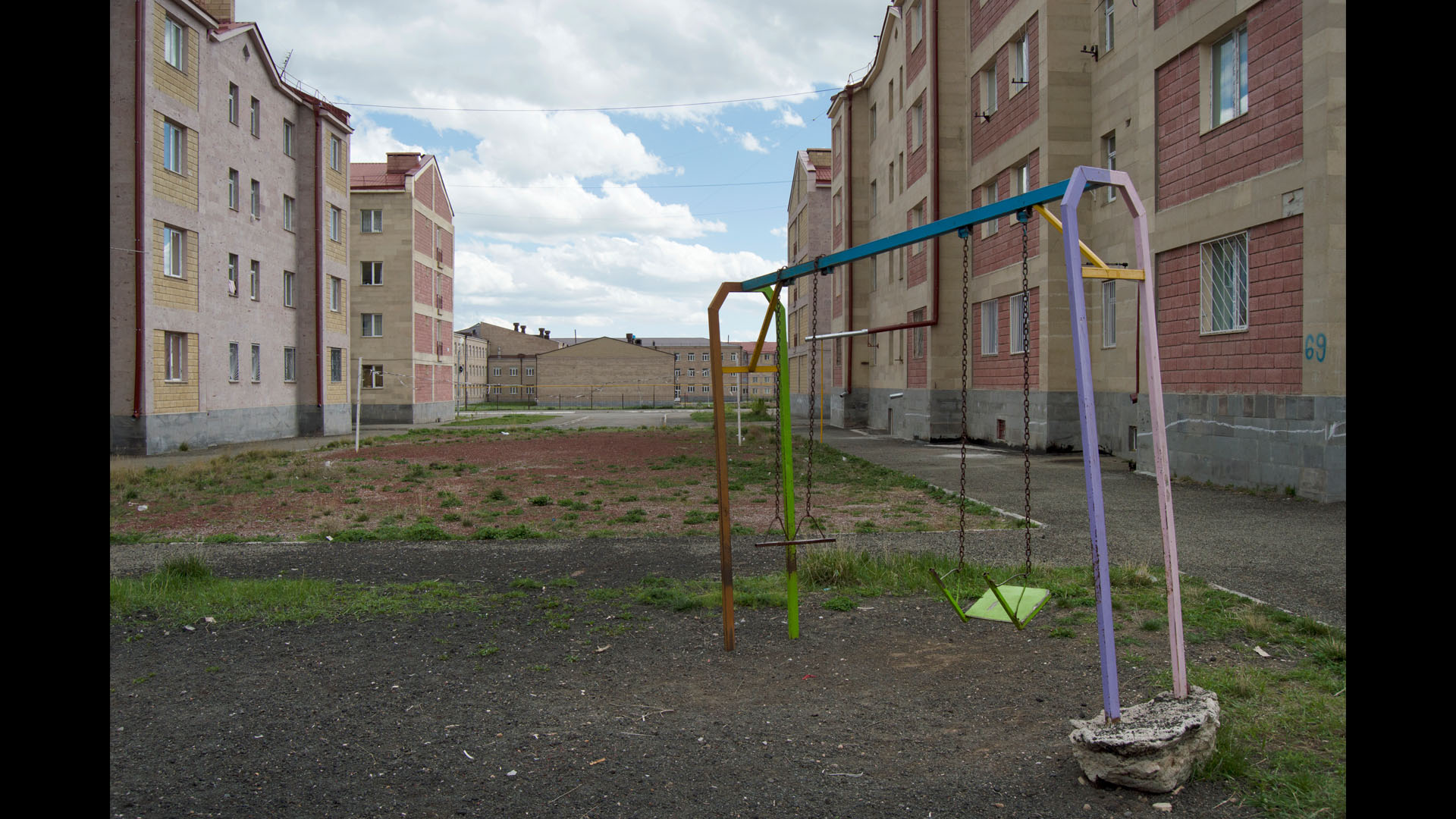
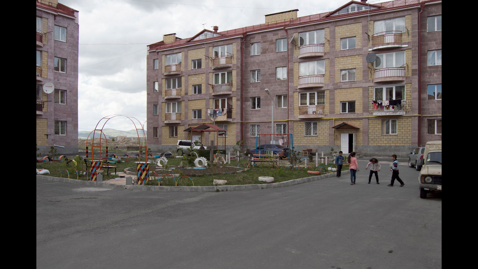
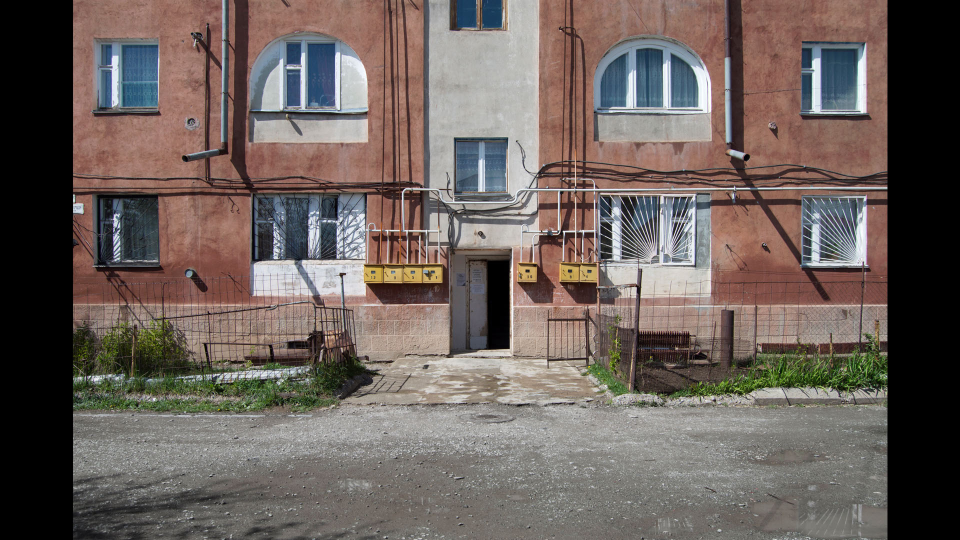
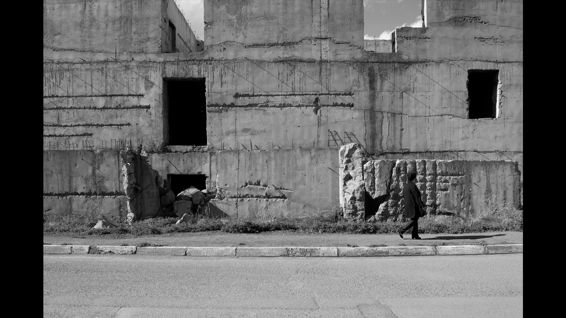
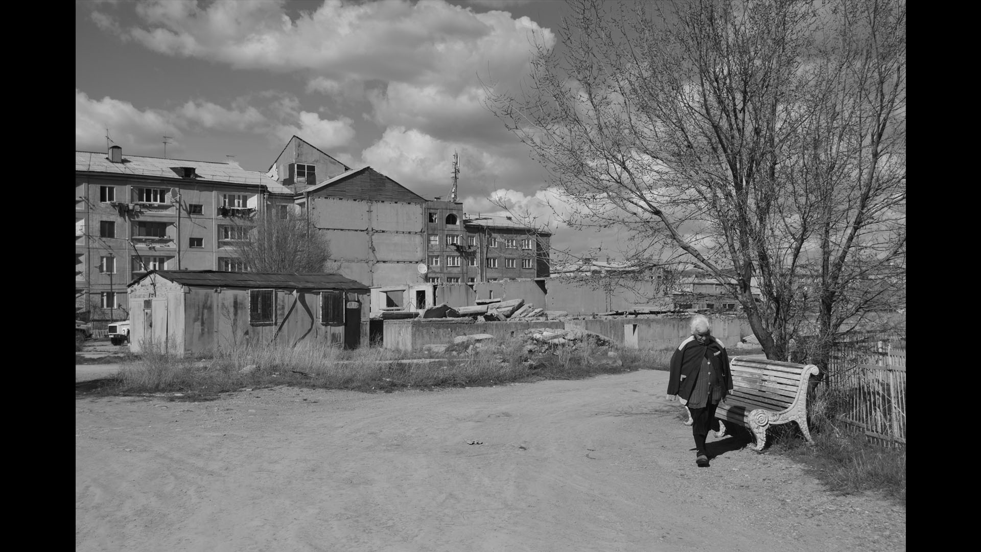
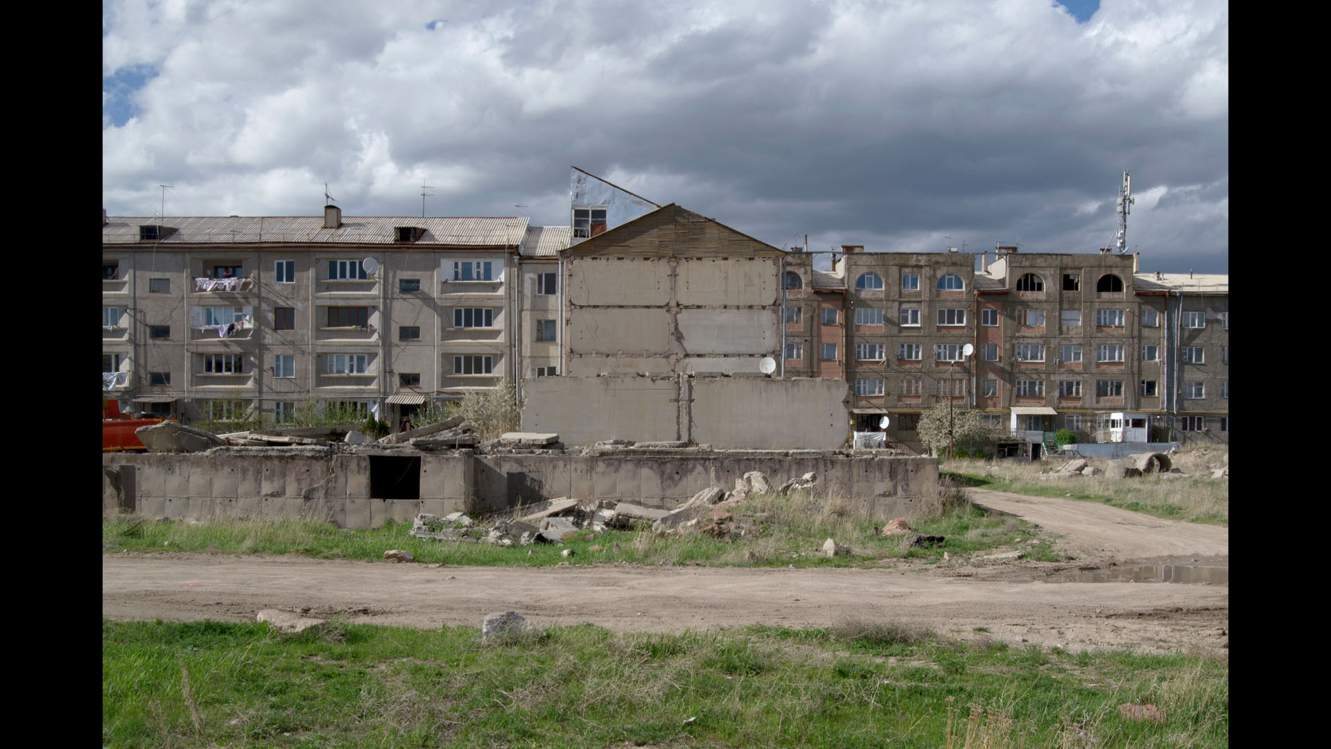
Already in 2000s another new quarter was built next to Ani - Mush 2. However even today the unfinished buildings of early 1990s are still scattered over 200 acres of area. At one point some of the buildings of these half constructed “islands” far away from other districts were completed to provide housing for the homeless.
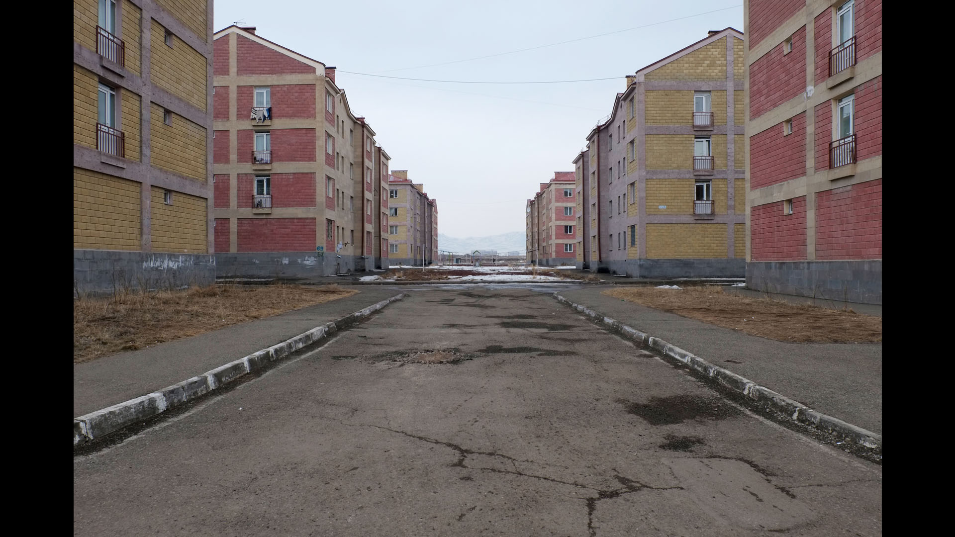
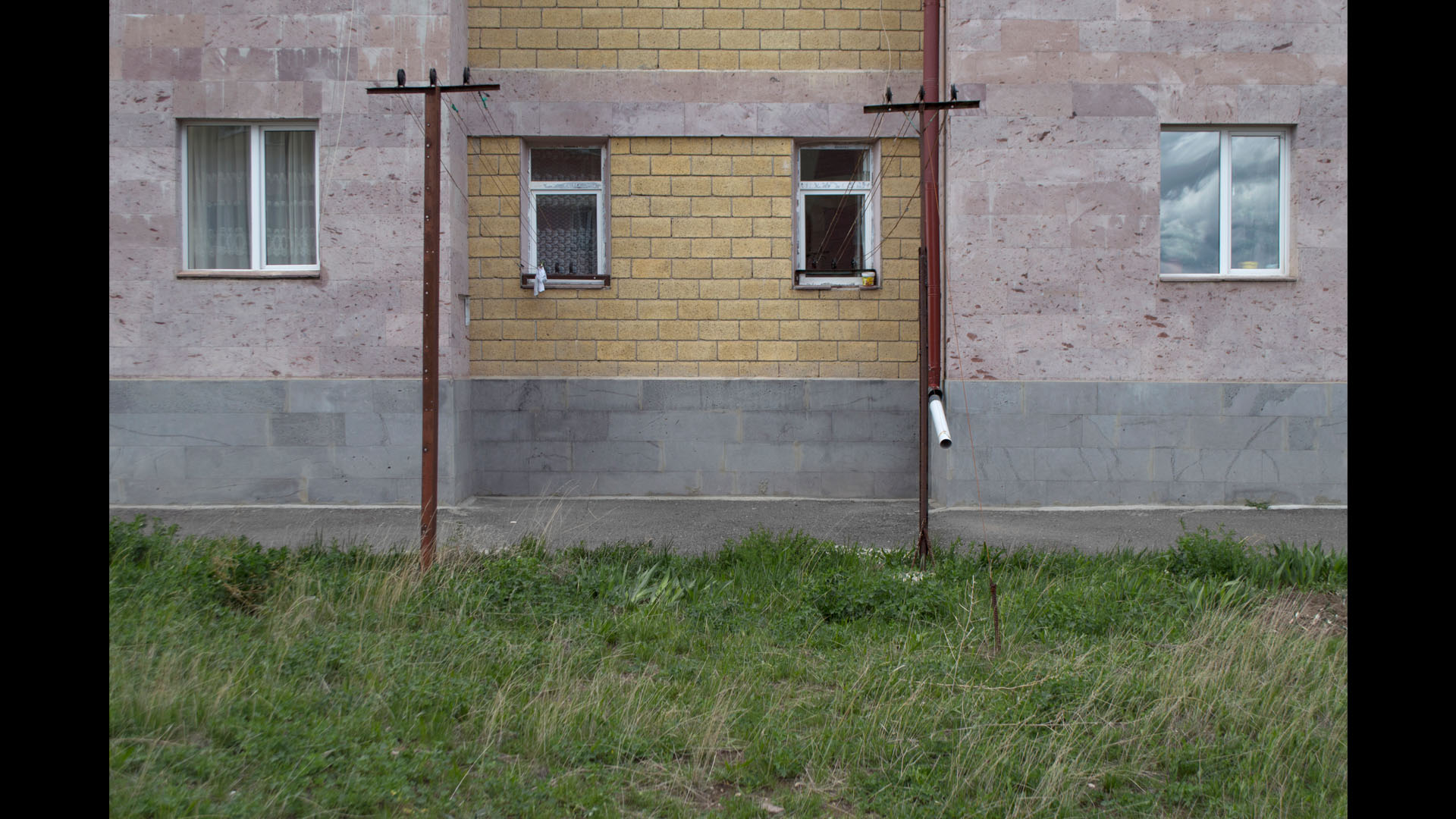
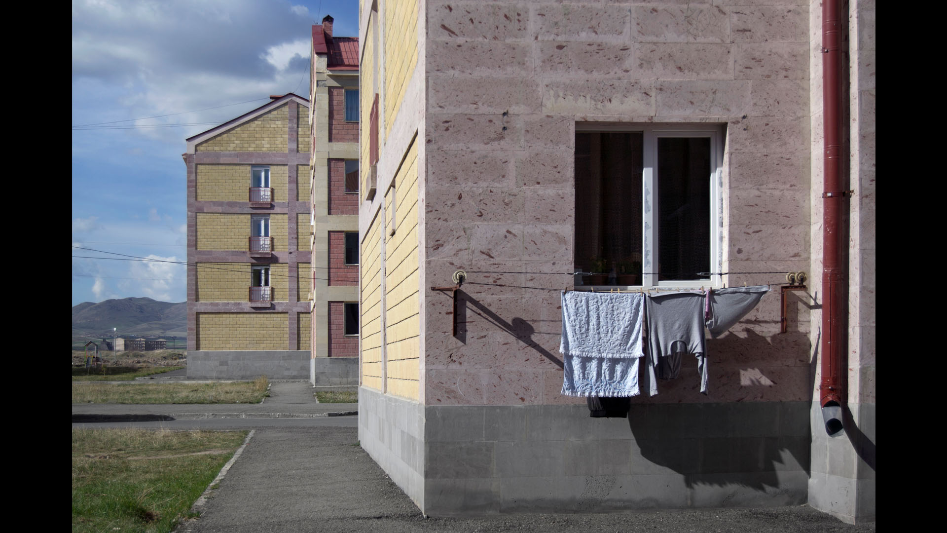
One of these islands is Shirakatsi quarter which comprises 3 four floured buildings. The nearest school and grocery shop are one kilometre away. The addresses of these buildings are 67, 68, 69. But what about 66? The residents point to an unfinished building closing up their courtyard that they try to protect from looting. “We are the ones who are guarding this building so that no one destroys it and pieces of cement do not fall on the kids” says 25 year old Samvel Paskevichyan.
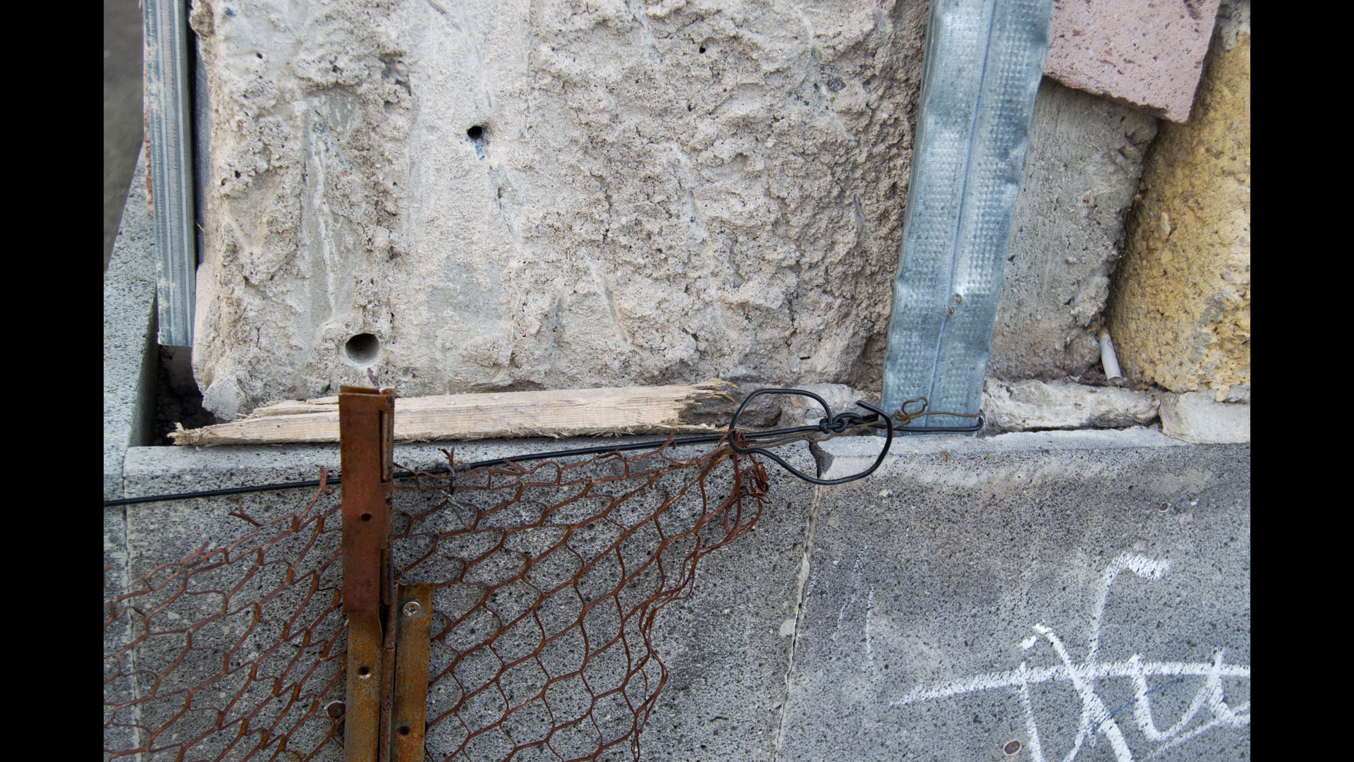
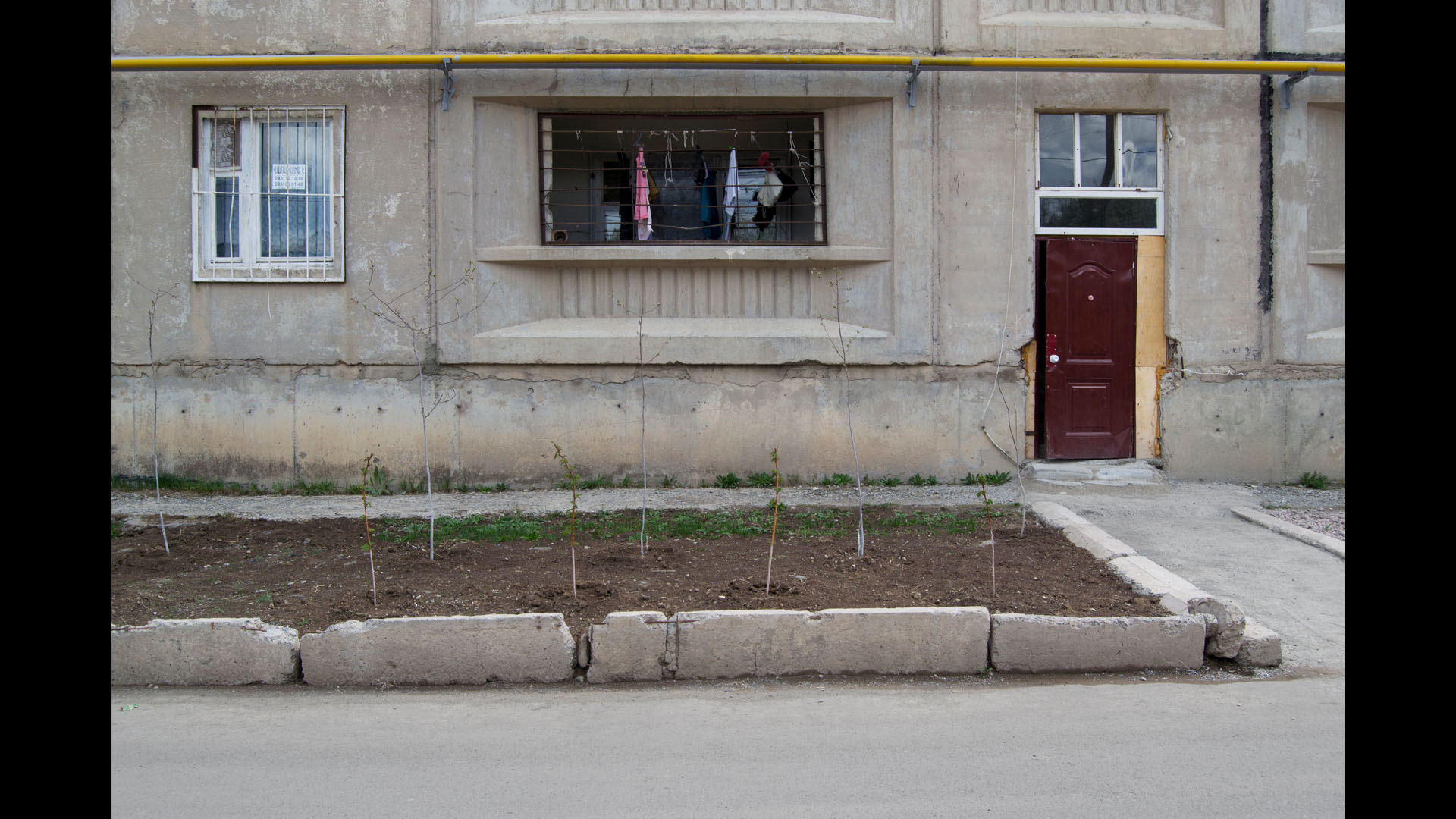
The other unfinished buildings look as if they were nibbled: the poor crack the cement with hammers to take out and sell the metal.
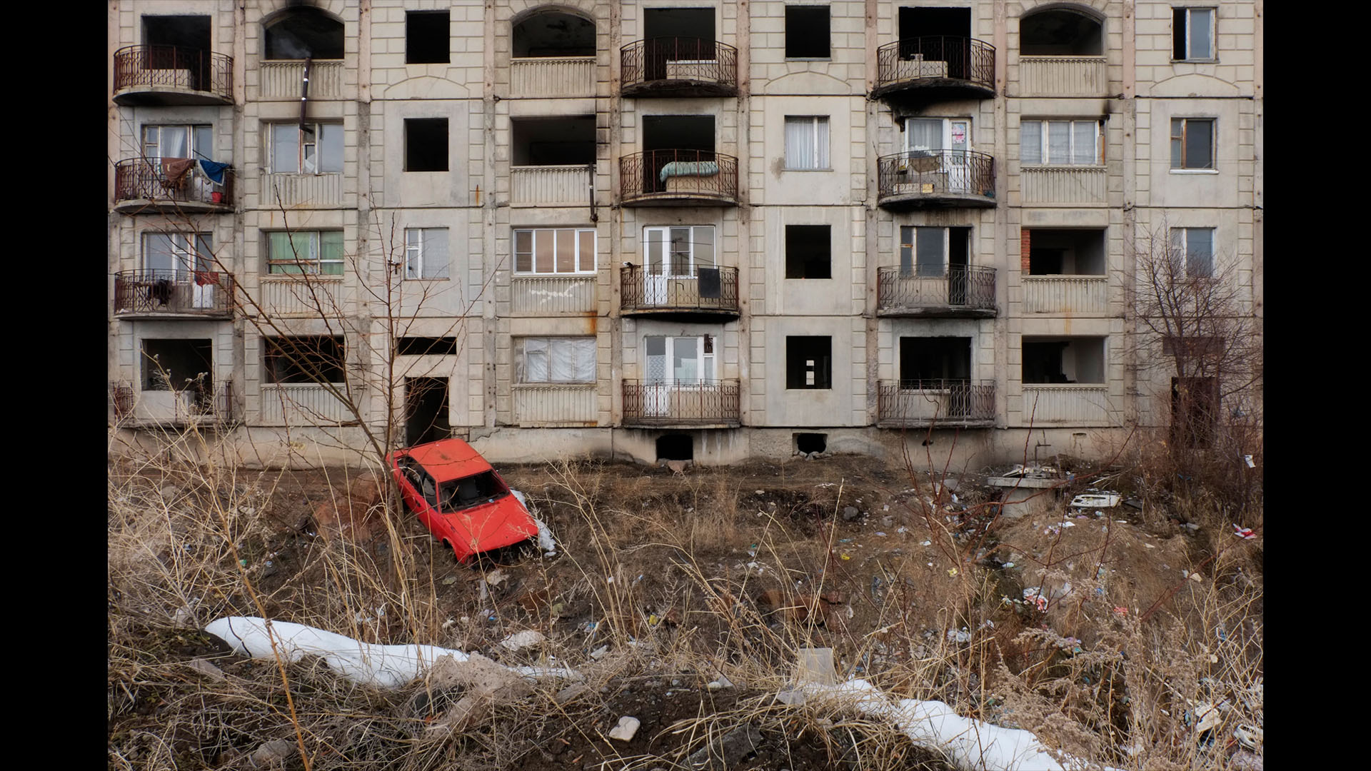
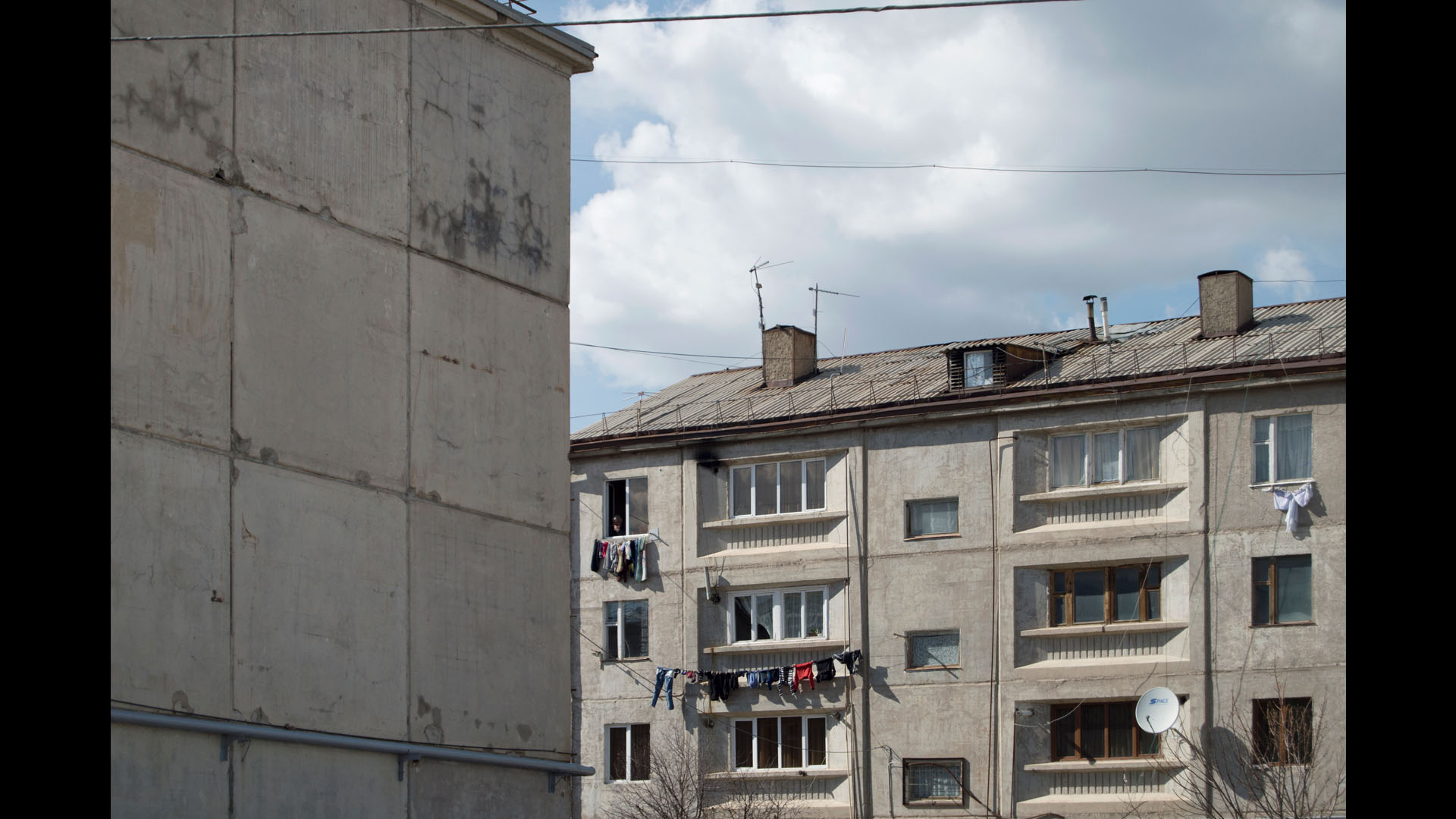
“We live in the jungles, you can’t go out after 8, or else you’ll be attacked by wolves”. There are about 10-12 families leaving in the three buildings, the others have locked up their houses and left and those who stayed regret that they abandoned their temporary shelters and moved into the apartments.
Until early 2000s there were about 17 thousand people living in temporary shelters, now there are about 2700 families. Before the earthquake about 260 thousand people lived in Gyumri, according to the most recent census the population of Gyumri now is 118 thousand. With the decrease of the number of the population the birth rate went down too, and at one point in 2001 more people were dying than there were born.
Text by
Vahan Ishkhanyan
Investigative Journalist
Photos by
Students of the TUMO Center for Creative Technologies in Gyumri
Workshop led by Katharina Roters
During the next months students of the TUMO Center for Creative Technologies originally from post-earthquake Gyumri will contribute to this story.